Val Ferret
The long valley running north east out of Courmayeur, under the Grandes Jorasses, with a free bus to the far end of it.
Val Ferret runs north east from the village and climbs gently for ten kilometres, with the granite of the Grandes Jorasses and Mont Dolent standing over its left bank the whole way. The road up it is served all summer, so a walker can start at the far end and let the bus do the climbing.
It holds the easiest good day in the valley and one of the hardest. The floor is flat enough for a pushchair, the huts sit an hour above it, and the Tour du Mont Blanc runs along the balcony on the near side with the whole massif in front of it.
Getting there
- Line 924, Val Ferret · freeThis data covers 18 July to 27 September 2026.
Where to eat up here
- Rifugio Walter Bonatti · 2,025 mOpen 26 May to 30 September 2026.
- Rifugio Elena · 2,062 mUsually open 15 June to 15 September 2026. Ring to be sure.
4 walks
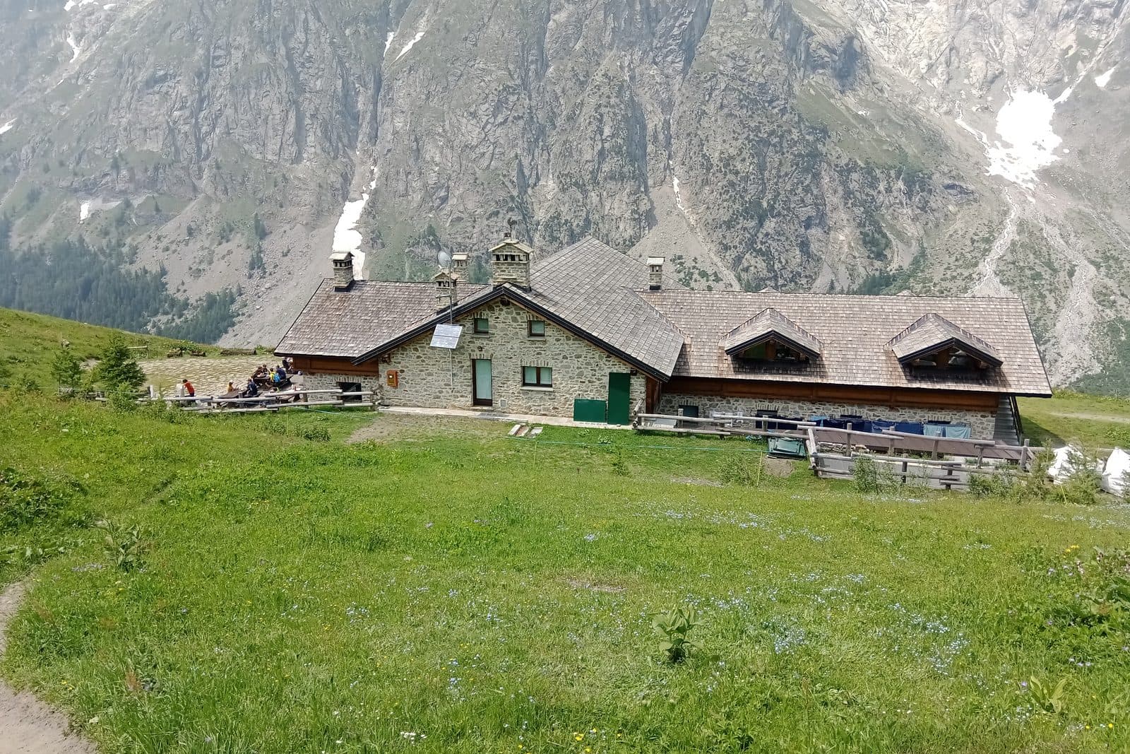
Rifugio Bonatti from Lavachey
The cheapest big view in the valley: let the bus climb 400 m, then walk an hour to the balcony.
Moderate4.5 km · 440 m up · 2,025 m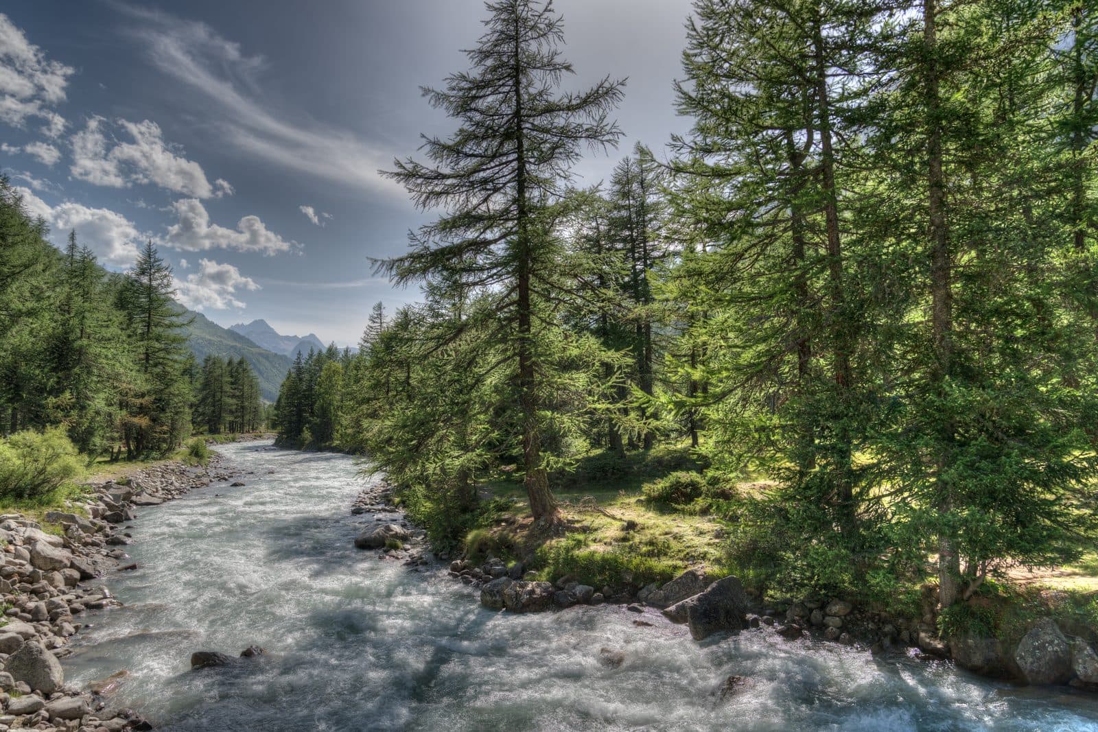
Val Ferret valley floor walk
A flat track along the valley floor with the Grandes Jorasses glaciers hanging above you.
Easy4 km · 150 m up · 1,770 m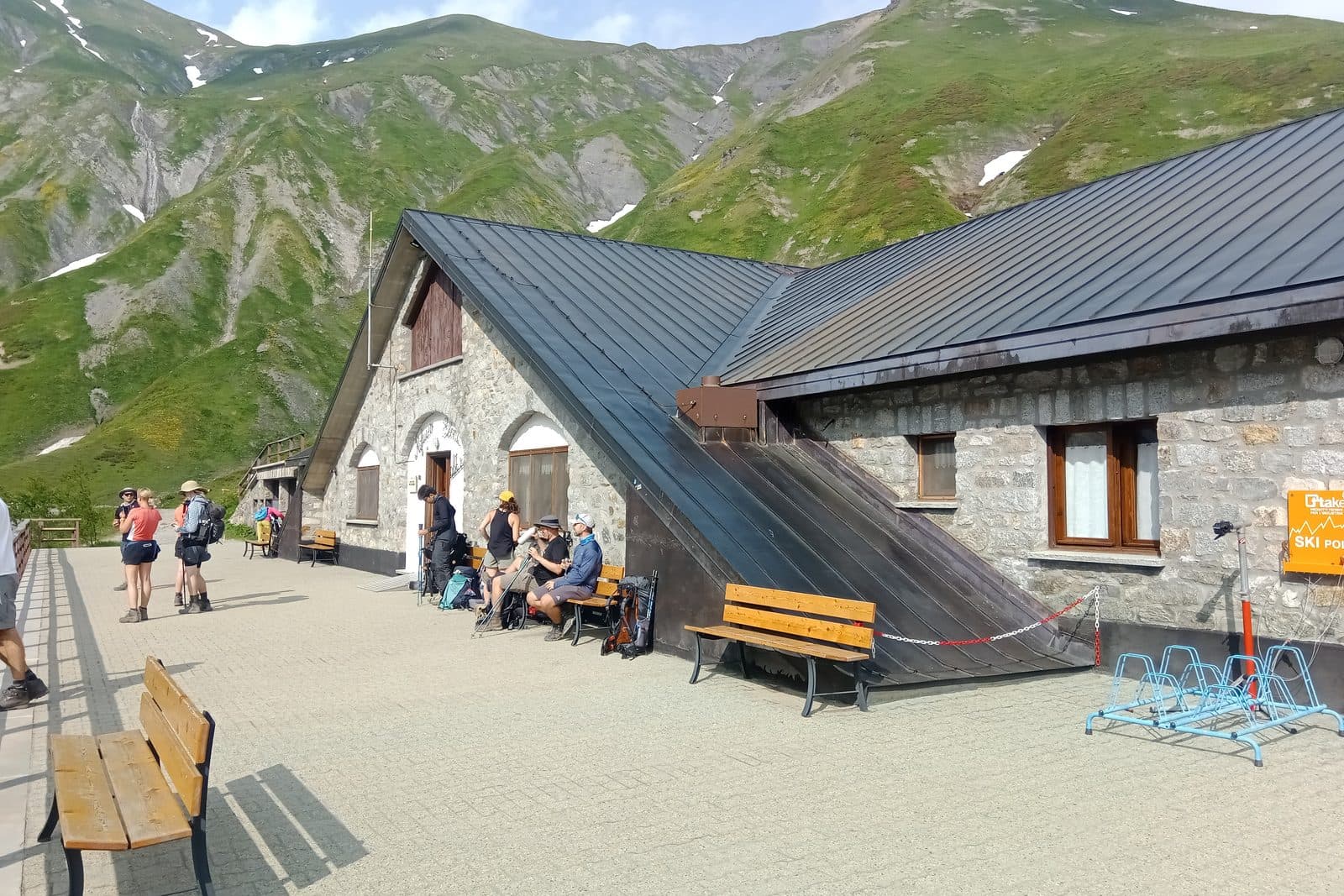
Rifugio Elena from Arnouva
A short climb to a hut that sits directly under the Pre-de-Bard glacier at the head of the valley.
Easy6.5 km · 300 m up · 2,062 m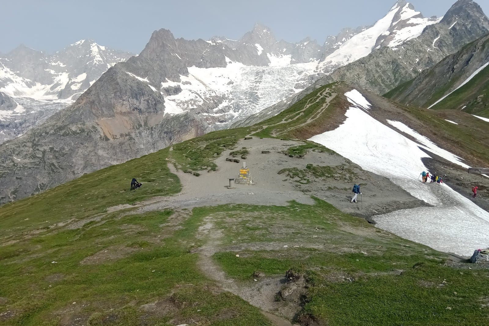
Grand Col Ferret
A long pull to the Swiss border, where the pass opens onto a completely different set of mountains.
Hard9 km · 800 m up · 2,537 m
Each walk’s page names its photographer.