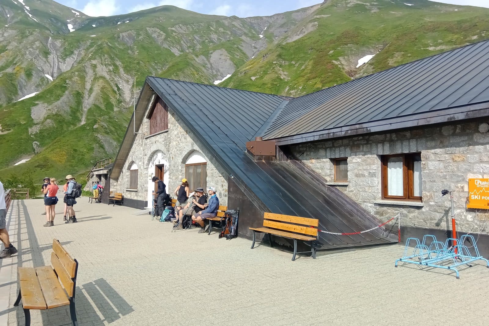
Rifugio Elena from Arnouva
A short climb to a hut that sits directly under the Pre-de-Bard glacier at the head of the valley.
Easy
- Distance
- 6.5 km
- Ascent
- 300 m
- High point
- 2,062 m
- Walking, not counting the bus
- 1.5 to 2 h
Where it is
Reading your answers
How high
2,062 mhigh pointRifugio Elena
1,770 mArnouva
The top stands 292 m above Arnouva. Total ascent is higher, because the path rises and falls on the way.
Before you go
- Rifugio Elena · 2,062 mUsually open 15 June to 15 September 2026. Ring to be sure.+39 0165 844688 · website
Where to stand
- Arnouva · 1,770 mA bench and the timetable on a post. No shelter from the weather.
What to carry. Shoes with some grip, water, and a layer for the wind at the top.
If it goes wrong
112One number for mountain rescue, an ambulance, or the fire service. It is free, it works from a phone with no card and no credit, and it can put a translator on the line.
Worth reading before you leave. Soccorso Alpino Valdostano · The regional forecast · Wind and temperature up high