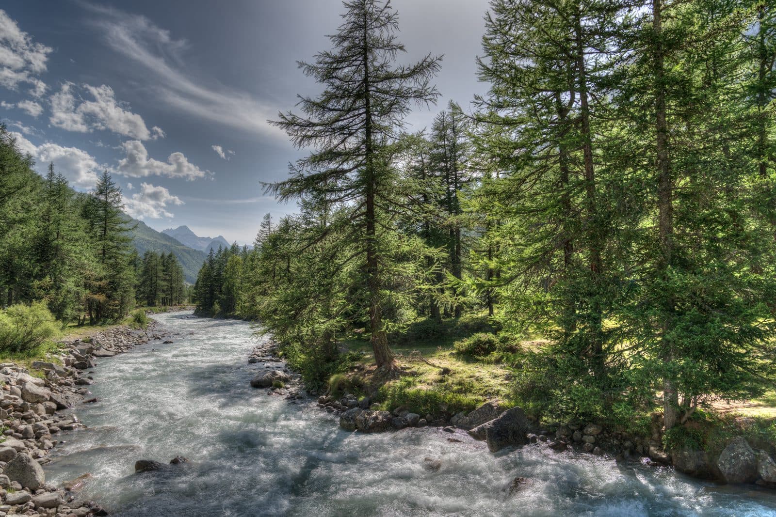
Val Ferret valley floor walk
A flat track along the valley floor with the Grandes Jorasses glaciers hanging above you.
Easy
- Distance
- 4 km
- Ascent
- 150 m
- High point
- 1,770 m
- Walking, not counting the bus
- 1 to 1.5 h
Where it is
Reading your answers
How high
1,770 mhigh pointArnouva
1,642 mLavachey
The top stands 128 m above Lavachey. Total ascent is higher, because the path rises and falls on the way.
Before you go
Where to stand
What to carry. Shoes with some grip, water, and a layer for the wind at the top.
If it goes wrong
112One number for mountain rescue, an ambulance, or the fire service. It is free, it works from a phone with no card and no credit, and it can put a translator on the line.
Worth reading before you leave. Soccorso Alpino Valdostano · The regional forecast · Wind and temperature up high
Worth knowing
A closed road, so it is flat, car free and fine with a pushchair. Ride out to Lavachey and catch the bus home from Arnouva.