Val Veny
The valley under the south face of Mont Blanc, with the Miage and Brenva glaciers coming down into it.
Val Veny is reached the long way round, north past the sanctuary above the Brenva glacier and then west into the valley itself. It runs under the south face of Mont Blanc, which means glaciers reaching almost to the path and a wall of rock two and a half kilometres high above them.
The valley floor is a glacial flood plain, flat and open, and the walks off it climb steeply. This is where to come for ice at close range rather than for a balcony view of it.
Getting there
- Line 931, Val Veny · freeThis data covers 27 June to 27 September 2026.
Where to eat up here
- Cabane du Combal · 1,968 mUsually open 14 June to 15 September 2026. Ring to be sure.
- Rifugio Elisabetta Soldini · 2,195 mUsually open 1 July to 27 September 2026. Ring to be sure.
3 walks
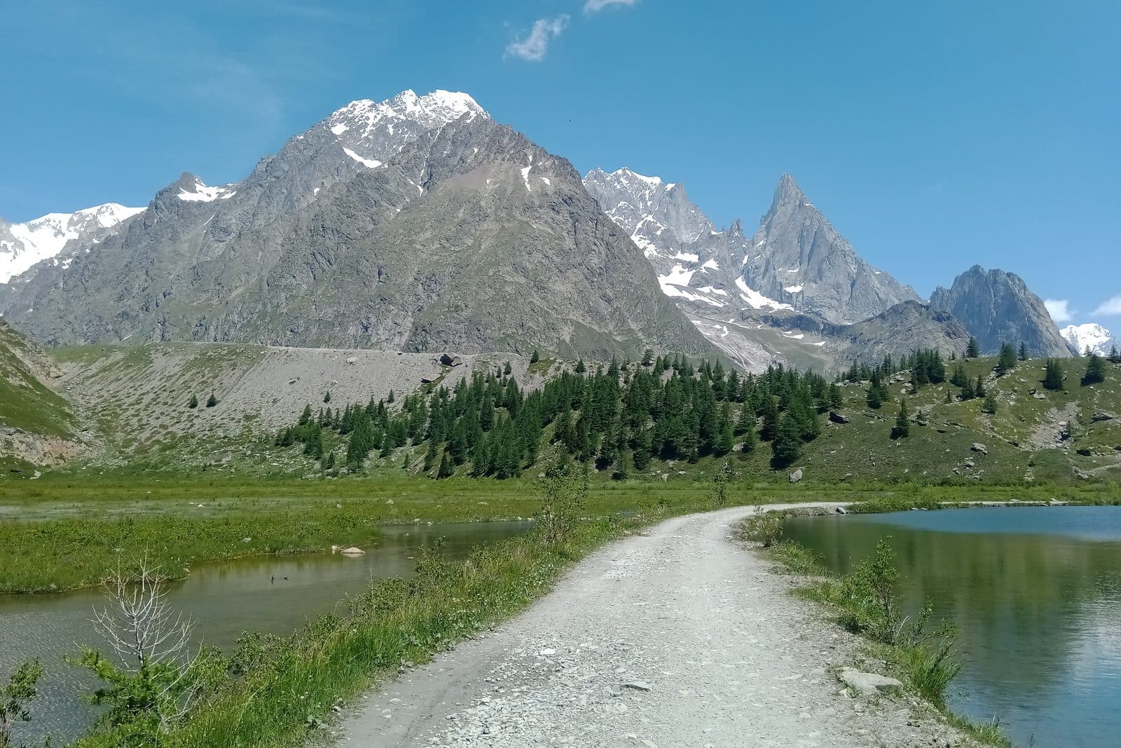
Lac Combal and Rifugio Elisabetta
Up the Val Veny past a glacial flood plain to a hut wedged under the Glacier de la Lex Blanche.
Moderate11 km · 600 m up · 2,195 m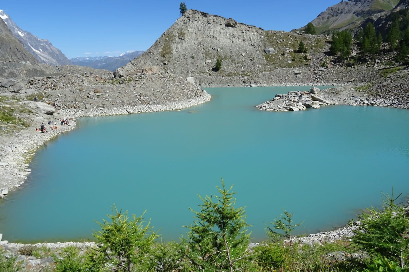
Lago del Miage
A short walk to a milky lake pressed against the debris-covered snout of the Miage glacier.
Easy7 km · 400 m up · 2,040 m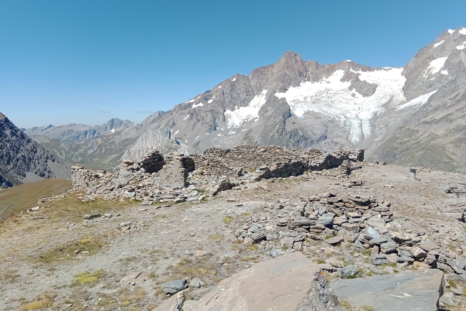
Mont Fortin
A quiet summit that gives the whole Italian face of Mont Blanc in one turn of the head.
Hard12.5 km · 1,120 m up · 2,755 m
Each walk’s page names its photographer.