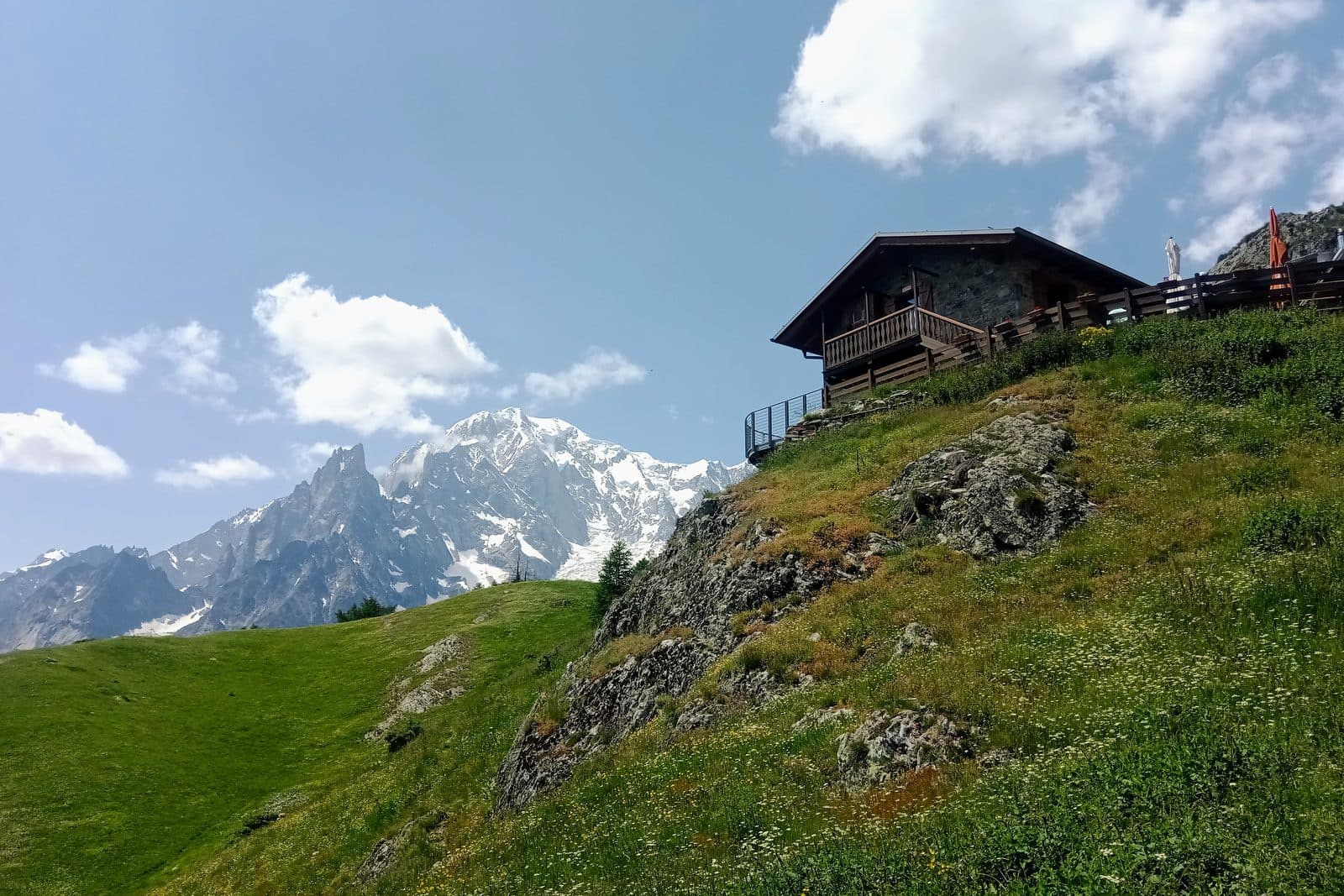
Rifugio Bertone balcony
A steady forest climb straight out of the village to a terrace that faces the whole massif.
Moderate
- Distance
- 9 km
- Ascent
- 770 m
- High point
- 1,989 m
- Walking, not counting the bus
- 3 to 4 h
Where it is
Reading your answers
How high
The top stands 765 m above Courmayeur, Piazzale Monte Bianco. Total ascent is higher, because the path rises and falls on the way.
Before you go
- Rifugio Giorgio Bertone · 1,989 mUsually open 12 June to 26 September 2026. Ring to be sure.+39 347 032 5785 · website
What to carry. Boots, two litres of water, sun cover, and a warm layer. Above the trees there is no shade.
If it goes wrong
112One number for mountain rescue, an ambulance, or the fire service. It is free, it works from a phone with no card and no credit, and it can put a translator on the line.
Worth reading before you leave. Soccorso Alpino Valdostano · The regional forecast · Wind and temperature up high
Worth knowing
No bus needed, so it works on any day. The climb is shaded almost to the top, which makes it the sane choice in a heatwave.