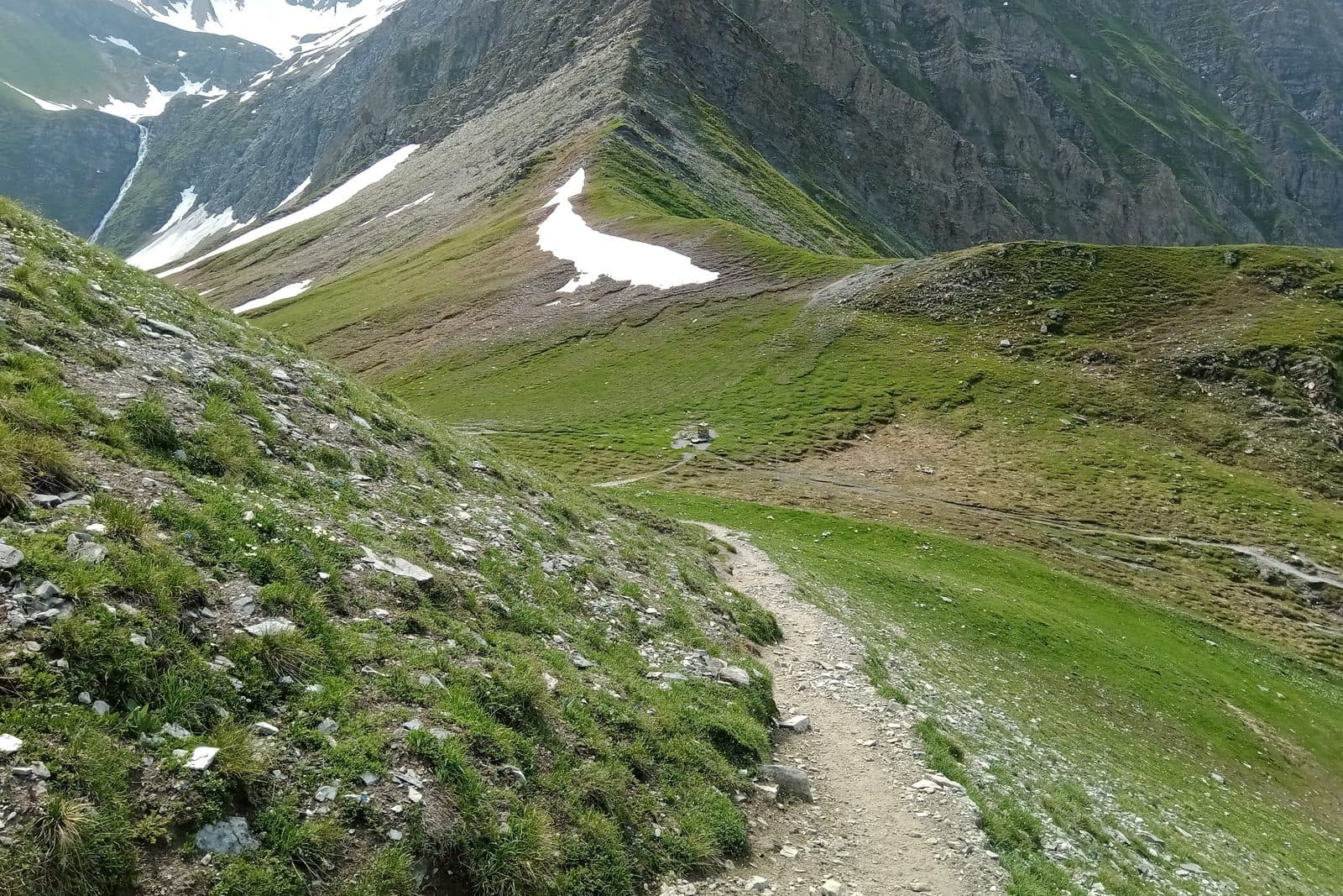
Col Sapin and Tete de la Tronche loop
The long way round behind Bertone, over a real summit, with the crowds left on the balcony below.
Hard
- Distance
- 14.7 km
- Ascent
- 1,546 m
- High point
- 2,581 m
- Walking, not counting the bus
- 6 to 7 h
Where it is
Reading your answers
How high
The top stands 1,357 m above Courmayeur, Piazzale Monte Bianco. Total ascent is higher, because the path rises and falls on the way.
Before you go
- Rifugio Giorgio Bertone · 1,989 mUsually open 12 June to 26 September 2026. Ring to be sure.+39 347 032 5785 · website
What to carry. Boots, poles for the descent, food for the whole day, and a shell. Snow lies in the high cols into July.
If it goes wrong
112One number for mountain rescue, an ambulance, or the fire service. It is free, it works from a phone with no card and no credit, and it can put a translator on the line.
Worth reading before you leave. Soccorso Alpino Valdostano · The regional forecast · Wind and temperature up high
Worth knowing
A full day with a long descent at the end. Start early and take poles for the drop back into the valley.